


Stakeholder Information
Exploration Techniques
We divide our work into two phases in order to gradually get to know the bedrock: preliminary studies and in-depth studies.
1. Preliminary studies
These are early investigations carried out with the support of the right of public access and which have no impact on the land or the environment. This includes:
- Boulder tracing: We search for loose stones (boulders) on the ground surface.
- Geological mapping: We study visible rock outcrops.
- Certain geophysical measurements: We measure variations in the bedrock using instruments on the ground or from the air.
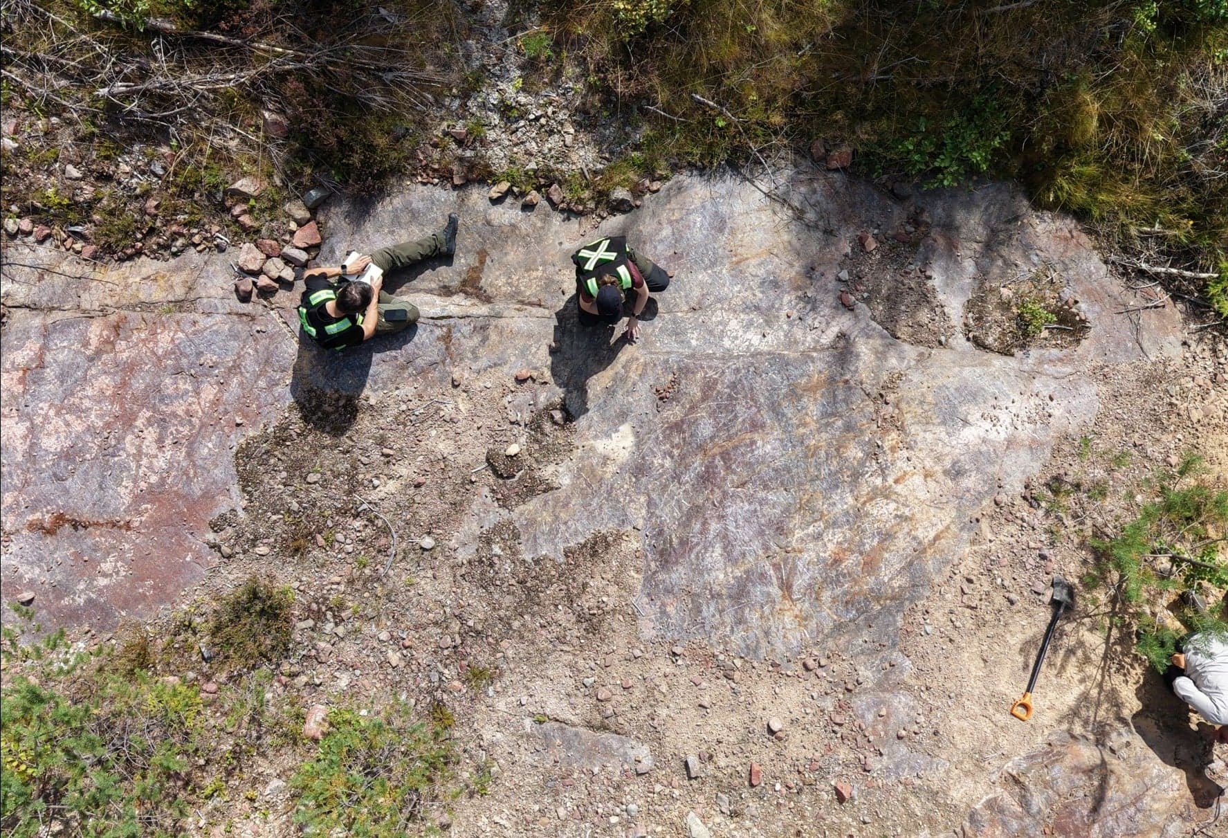
2. In-depth studies
If we find interesting indications in phase 1, we proceed to in-depth work. This involves a temporary infringement of the rights of the landowner. The purpose is to determine the size and quality of a deposit in more detail through, for example:
- Core drilling: Small, deep boreholes to extract samples of the rock.
- Trenching: To take a closer look at the rock surface beneath the soil layer.
- Certain geophysical measurements: Involving cables temporarily laid on the ground.
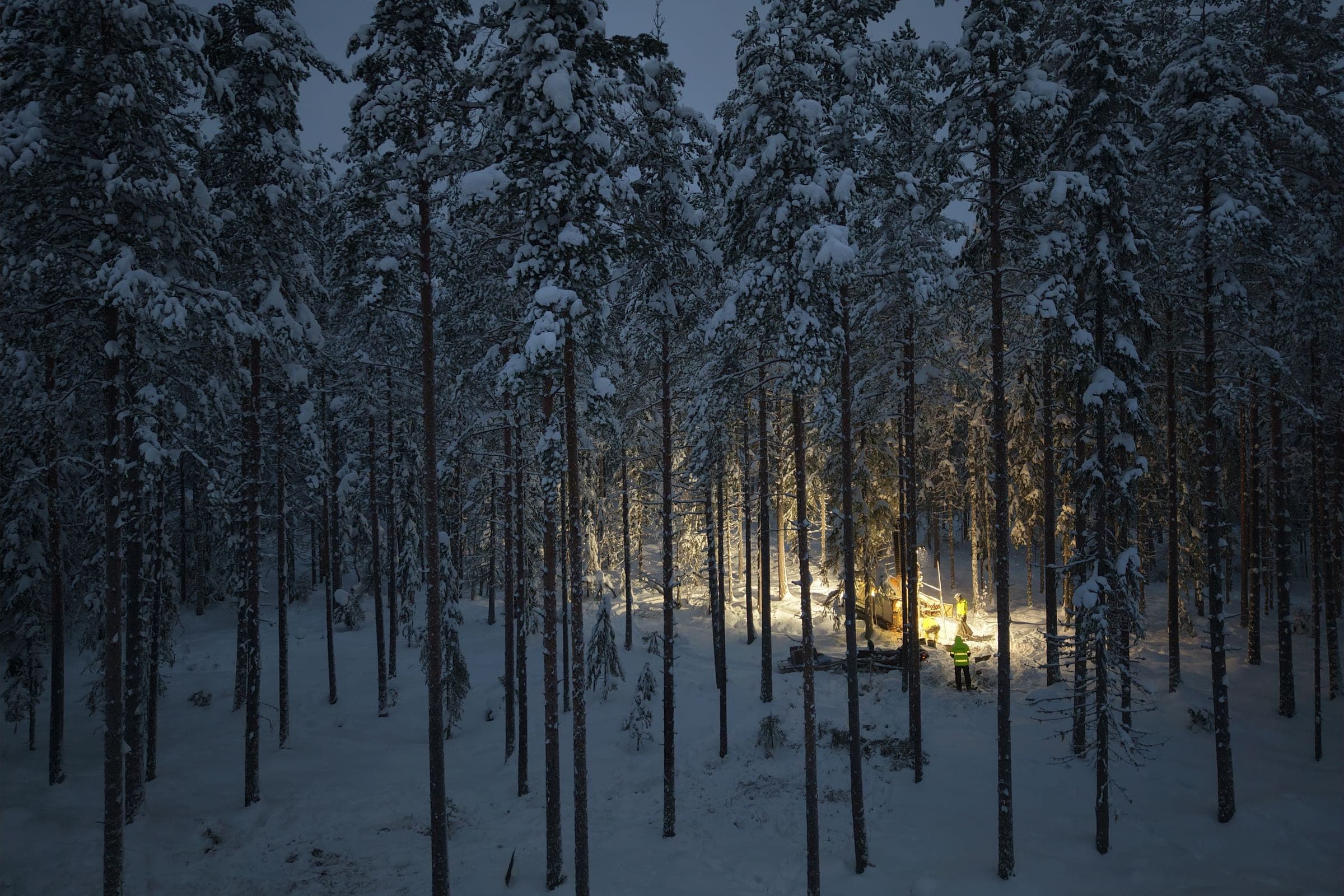
All survey work is guided by a formal work plan. This describes in detail how we take into account the environment, water and local interests to minimize impact. All our methods are temporary, and we always leave the site restored.
Only a small portion, usually less than 5% of an exploration permit, is affected by in-depth studies.